POWWR News, Blogs, and Articles
Follow our blog to discover energy sales insights, best practices for managing customer energy procurement journeys, and business tips for suppliers and brokers.
IWD26: Financial Justice Begins with Women’s Financial Wellbeing


IWD26: Financial Justice Begins with Women’s Financial Wellbeing
9 March, 2026
2
min read
2026: The Year of Flex Deals & the Rise of the Green Energy Ecosystem


2026: The Year of Flex Deals & the Rise of the Green Energy Ecosystem
24 February, 2026
4
min read
POWWR Announces Three New Appointments and Promotion of Key Personnel


POWWR Announces Three New Appointments and Promotion of Key Personnel
18 February, 2026
2
min read
POWWR Announces Significant Multi Million Pound Investment


POWWR Announces Significant Multi Million Pound Investment
4 February, 2026
2
min read
POWWR Energy Barometer Shows UK Businesses Can Save by Switching Suppliers
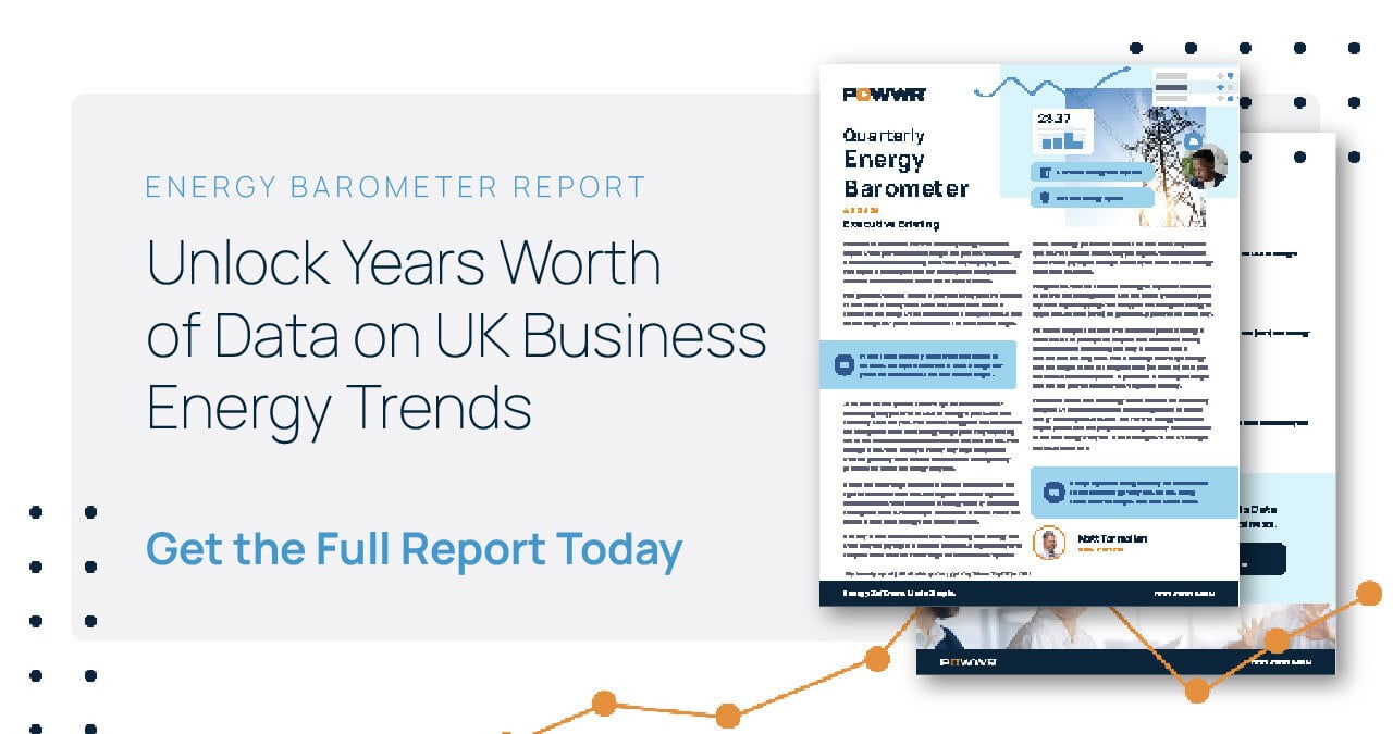

POWWR Energy Barometer Shows UK Businesses Can Save by Switching Suppliers
28 January, 2026
2
min read
Why a Multifaceted Approach to Net Zero Is Essential in 2026 & Beyond


Why a Multifaceted Approach to Net Zero Is Essential in 2026 & Beyond
26 January, 2026
3
min read
Energy Predictions for 2026: What’s Next for the UK Market


Energy Predictions for 2026: What’s Next for the UK Market
8 January, 2026
4
min read
The Future of Energy Data: Why Access, Consent and Transparency Matter


The Future of Energy Data: Why Access, Consent and Transparency Matter
15 December, 2025
3
min read
Navigating the Future: Key Takeaways from our MHHS Webinar with Energy Live News


Navigating the Future: Key Takeaways from our MHHS Webinar with Energy Live News
3 December, 2025
2
min read
Why Gut Feel and Spreadsheets Are Costing Energy Suppliers Margin


Why Gut Feel and Spreadsheets Are Costing Energy Suppliers Margin
1 December, 2025
4
min read
The Return of Coal


The Return of Coal
26 November, 2025
6
min read
How Data Centers Are Reshaping PJM’s Energy Market
.png?width=1200&height=600&name=Blog_NovemberComplianceNewsletter_1200x600%20(1).png)
.png?width=1200&height=600&name=Blog_NovemberComplianceNewsletter_1200x600%20(1).png)
How Data Centers Are Reshaping PJM’s Energy Market
10 November, 2025
8
min read
UK Business Energy Usage on The Rise


UK Business Energy Usage on The Rise
28 October, 2025
3
min read
Trends Driving the Retail Energy Sector and How Providers Can Stay Ahead
.png?width=1200&height=600&name=Blog_OctoberComplianceNewsletter_1200x600%20(2).png)
.png?width=1200&height=600&name=Blog_OctoberComplianceNewsletter_1200x600%20(2).png)
Trends Driving the Retail Energy Sector and How Providers Can Stay Ahead
7 October, 2025
5
min read
Utilita Energy Streamlines Sales Process Thanks to POWWR Sales360


Utilita Energy Streamlines Sales Process Thanks to POWWR Sales360
25 September, 2025
2
min read
